Esri ArcGIS Pro
ArcGIS Pro is an Esri desktop mapping and analysis software designed to help users work with geographic data and create meaningful maps. It also works seamlessly with Esri’s other GIS-based products. ArcGIS Pro includes a wide range of analysis tools that help users understand geographic relationships and identify spatial patterns in their data. ArcGIS Pro serves as both a powerful research tool and an effective teaching platform and users across a wide range of fields —including geography, environmental studies, urban planning, history, and public health—use it to explore geographic questions and communicate their findings through compelling maps and visualizations.
ArcGIS Pro only works on Windows computers and is available at no cost to University of Arizona faculty, staff, and students.
Below you will find a number of basic tutorials related to ArcGIS Pro that are meant to serve as a quick start guide to using the software. Please note that tutorials one and two are meant to be completed in a sequence.
Tutorial 0: Downloading ArcGIS Pro
Vector Data
Tutorial 1: Opening ArcGIS Pro and Starting a Project
Tutorial 3: Creating a Basic Map
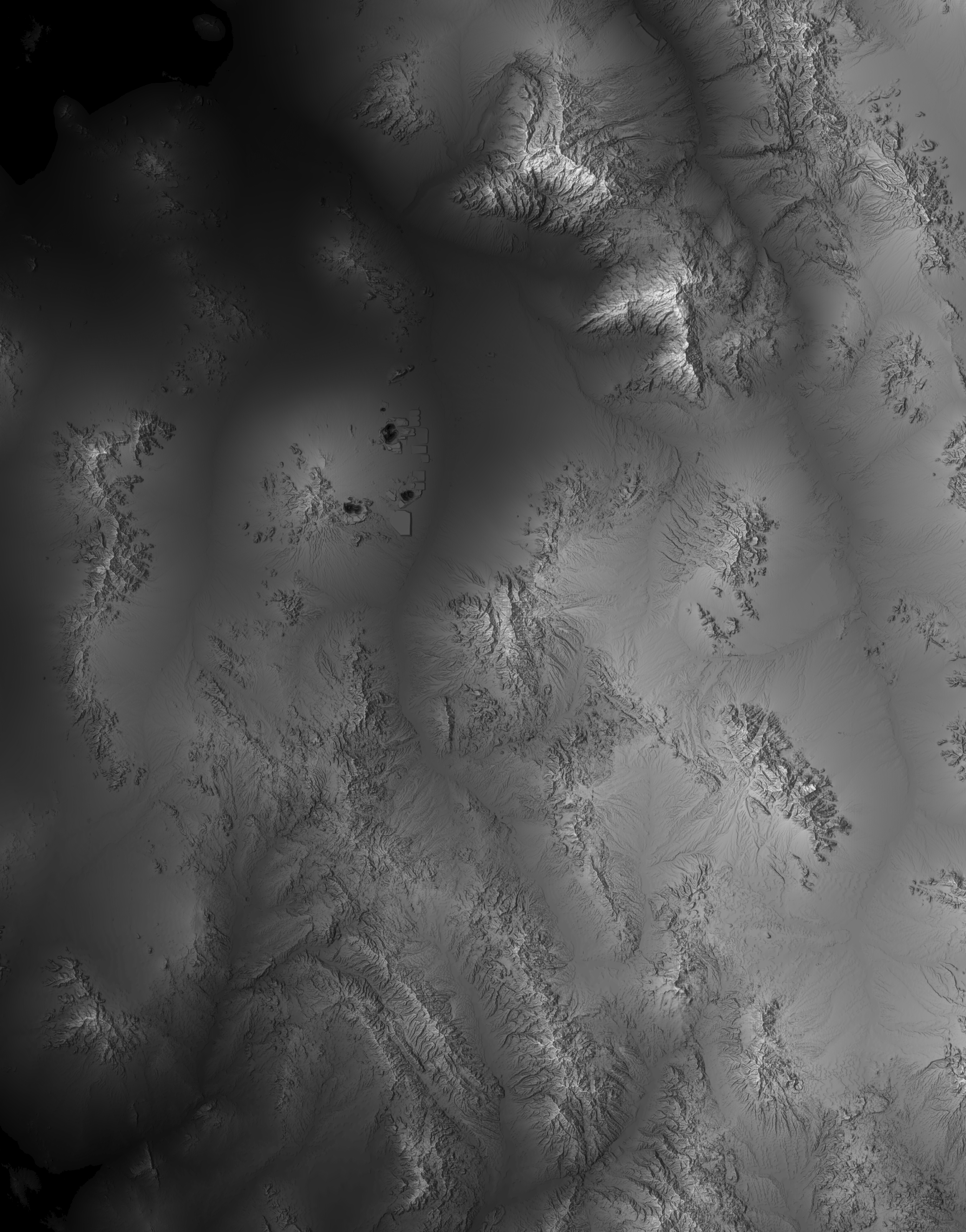
Raster Data
Tutorial 4: Basics of Raster Data
Workshop Data